Turning Raw Drone Footage into Client-Ready Data
What Does It Take to Go from Raw Video to a Deliverable?
Flying a drone and capturing aerial images is only the first part of the process. The real work begins once the drone lands and you have a memory card full of raw files. For surveyors, engineers, and property professionals, raw drone photos and videos are just a starting point. The value comes from what happens next: organizing, processing, and presenting that data in a way that clients can actually use. This is where drone data management enters the picture. It covers everything from uploading and sorting files to advanced processing and final sharing. Without a solid system, raw footage stays raw, and the insights it could provide remain hidden.
Many people assume that simply handing over a folder of images is enough. In practice, clients expect more. They want measurements, comparisons, time-lapse overlays, or annotated maps. Delivering that requires a structured approach to handling aerial data. Good drone data management turns a jumble of files into a coherent set of information that supports decision-making. It saves time, reduces errors, and makes the final product look professional.
Why Raw Footage Alone Falls Short
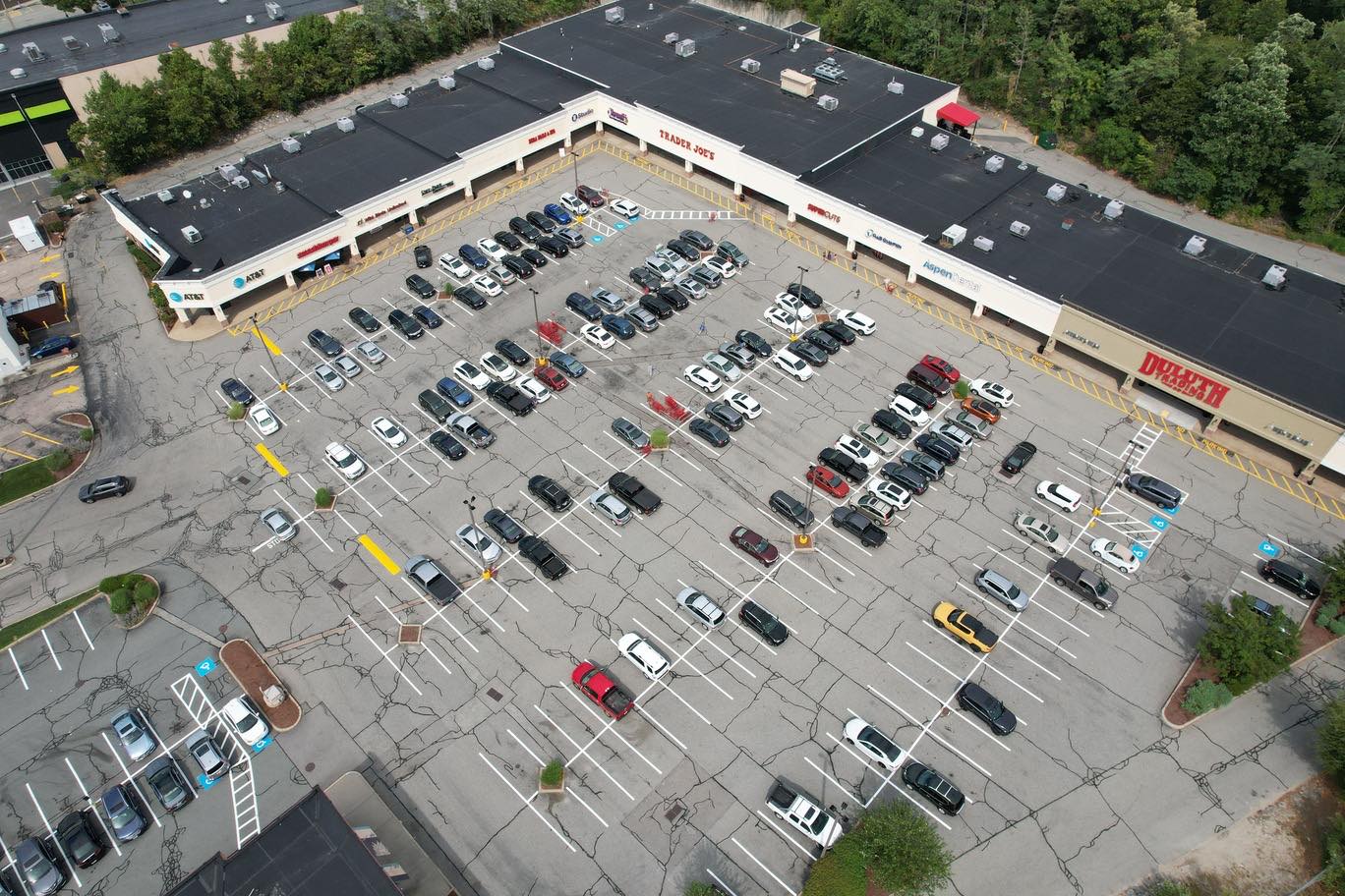
A raw drone photo contains a lot of data, but it is not organized for a specific purpose. A construction site manager might need to track progress over weeks, comparing each new flight against the previous one. An environmental consultant may want to measure vegetation change across a large area. A real estate agent could need a polished flyover video with labels and smooth transitions. In each case, the raw files lack the structure and context that turn them into usable deliverables.
Processing raw footage also involves technical steps like geotagging, orthorectification, and stitching overlapping images into a single map. These steps require software and know-how. Trying to do them manually or without a proper workflow often leads to mistakes, missing files, or inconsistent results. A drone data management platform helps avoid these pitfalls by providing a clear pipeline from capture to delivery.
The Core Steps in Drone Data Management
While every project is different, most workflows share a few common stages. Understanding these helps you see what goes into a polished deliverable and why it matters.
Upload and Organize
First, raw files need to be uploaded to a central location. This could be a cloud platform or a local server, but the key is that all files from a flight are kept together with proper metadata. Good organization means naming flights by date and location, tagging files with project names, and storing them in a consistent folder structure. This step prevents the chaos of scattered files across different devices.
Process and Enhance
Next, the raw data requires processing. For photogrammetry, this might mean aligning images and creating a 3D model or orthomosaic. For video, it could involve stabilizing footage, adjusting color, and trimming clips. Some platforms offer automated processing that handles these tasks without manual intervention. The goal is to produce clean, accurate data that reflects the real world.
Analyze and Measure
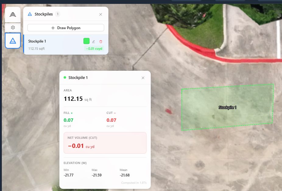
Once the data is processed, the real analysis begins. This includes measuring distances, areas, and volumes; identifying changes over time; and overlaying annotations or other reference data. For example, a surveyor might measure the volume of a stockpile from a single flight, while a farmer could assess crop health using multispectral imagery. These measurements turn raw pixels into actionable numbers.
Visualize and Share
Finally, the results need to be presented in a way that clients can understand. That means creating maps, charts, or annotated videos that highlight the key findings. Sharing options should allow clients to view the data on their own devices without needing special software. A good drone data management platform makes this step simple, offering links or embedded viewers.
What a Platform Brings to the Process
A dedicated drone data management platform provides the tools to perform all these steps in one place. Instead of juggling multiple software packages and manual file transfers, users can upload, process, measure, and share from a single interface. This streamlines the workflow and reduces the chance of errors.
For example, National Drone Services drone data management platform is designed to handle the full lifecycle of aerial data. It supports uploading raw files, then processing them into usable formats, and finally organizing and sharing the results. The platform focuses on making the data accessible and useful, not just stored. By using such a system, professionals can deliver consistent, high-quality results without reinventing the process each time.
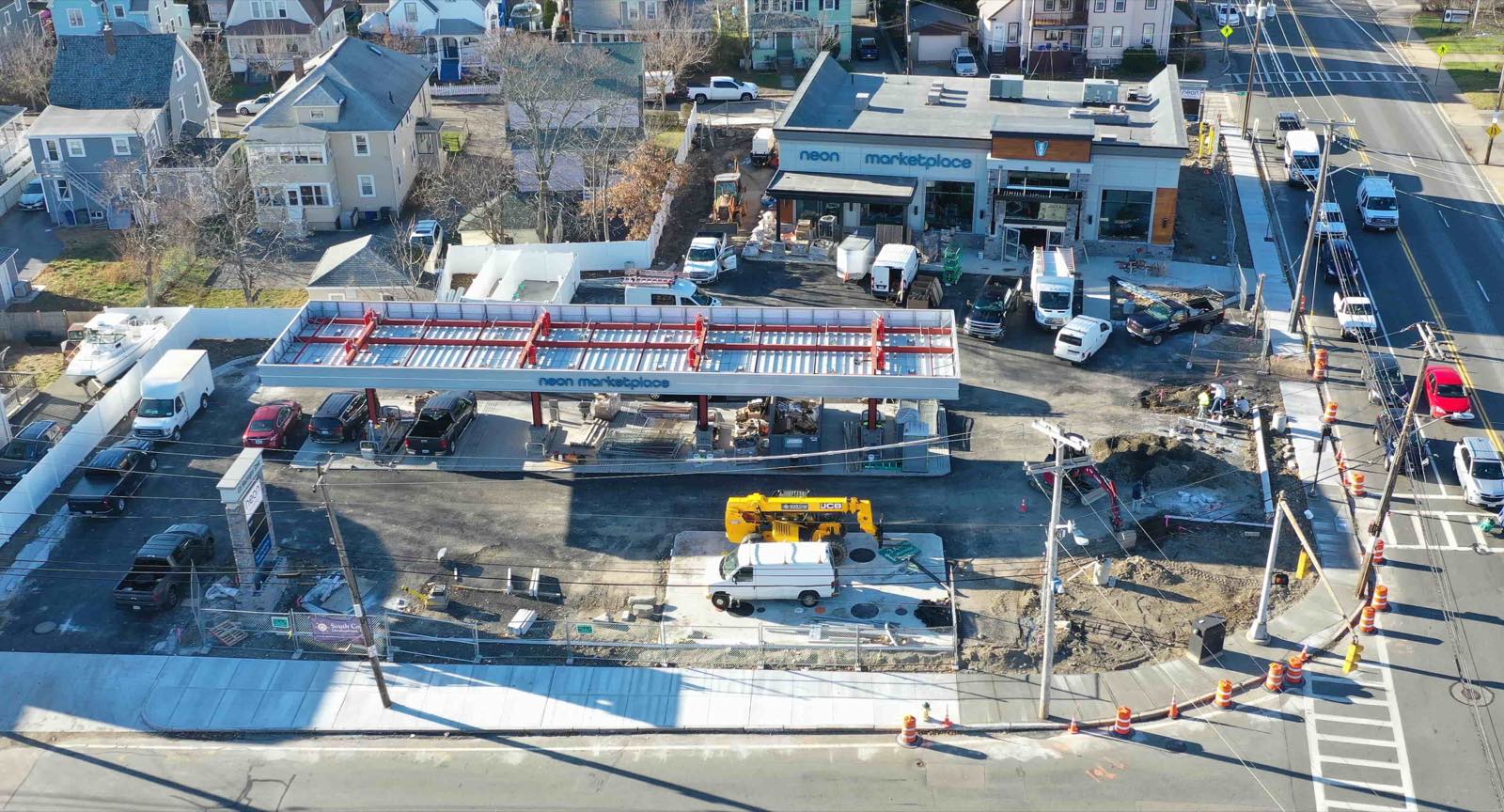
One of the main benefits of a platform is the ability to compare data over time. A construction project might have weekly flights. With the right tools, you can overlay images from different dates and see exactly where the ground has changed. This kind of comparison is nearly impossible to do manually with raw files. It requires precise alignment and the ability to visualize differences clearly.
Common Pitfalls and How to Avoid Them
Even with good intentions, drone data management can go wrong. Here are a few issues that crop up regularly and how to steer clear of them.
- Inconsistent file naming: Set a naming convention before the first flight and stick to it. Include date, location, and project code.
- Forgetting metadata: Always record altitude, camera settings, and flight path. This information is vital for accurate processing later.
- Skipping quality checks: After processing, review the output for alignment errors, missing areas, or color shifts. Fix these before sharing.
- Overcomplicating deliverables: Ask the client what they actually need. A simple annotated map may be more useful than a complex 3D model.
Addressing these points early saves time and frustration. A repeatable workflow built around a solid platform reduces the chance of mistakes and makes every project more efficient.
What This Means for Your Work
For anyone who regularly uses drone data, understanding the journey from raw footage to a finished product is essential. It changes how you plan flights, how you store files, and how you communicate with clients. Instead of just capturing images, you become a provider of information. That shift in mindset often leads to better projects and happier clients.
When you adopt a structured approach, you also gain the ability to handle larger volumes of data. A single large site might generate thousands of images. Without a system, managing that volume is overwhelming. With a platform like National Drone Services drone data management, you can scale your operations without losing control. The platform handles the heavy lifting of processing and organization, letting you focus on analysis and client communication.
The Bottom Line
Raw drone photos are full of potential, but they only realize that potential when they are processed and presented correctly. Drone data management bridges the gap between raw capture and client-ready deliverables. It provides the structure, tools, and workflows needed to turn pixels into insights. Whether you are a solo operator or part of a larger team, investing time in learning these processes pays off in more consistent results and stronger client relationships.
By understanding what happens between the flight and the final delivery, you can make better choices about software, storage, and workflow design. The goal is not just to produce pretty pictures, but to deliver data that drives decisions.
National Drone Services on social media
 Facebook
Ends · FIELDMODELREVIEW